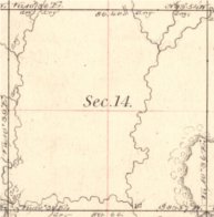
Section 14
Township 14 North, Range 1 West
Oklahoma County, OK
Click Here to Submit Visit Form
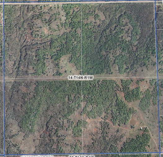 April
19, 2007 April
19, 2007 |
April 8, 1979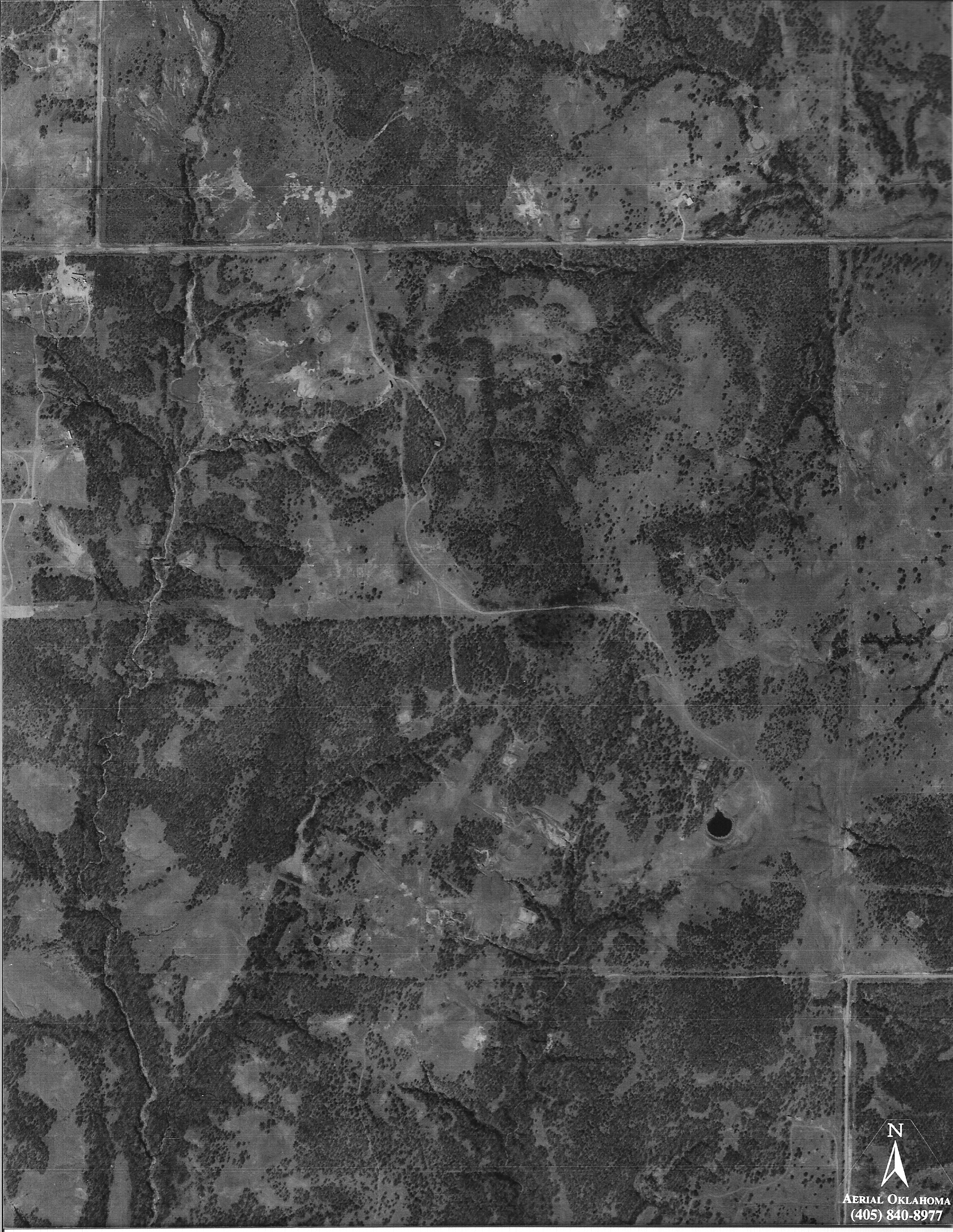 |
April 21, 1963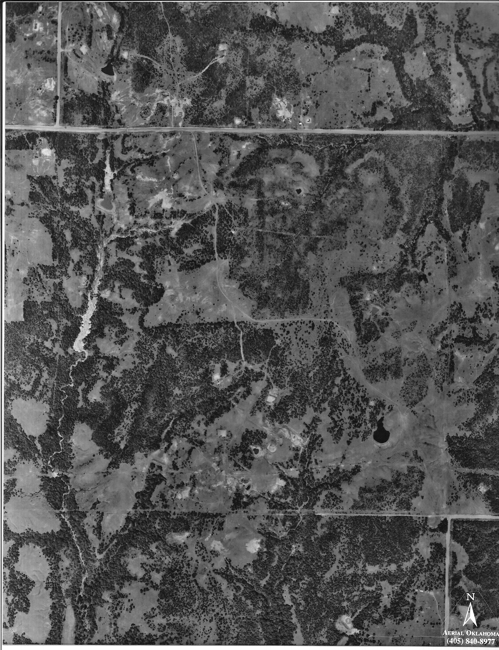 |
March 30, 1951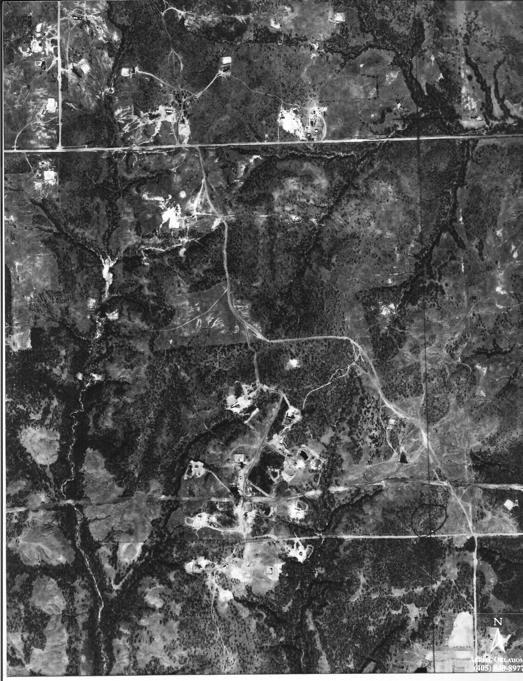 |
July 14, 1941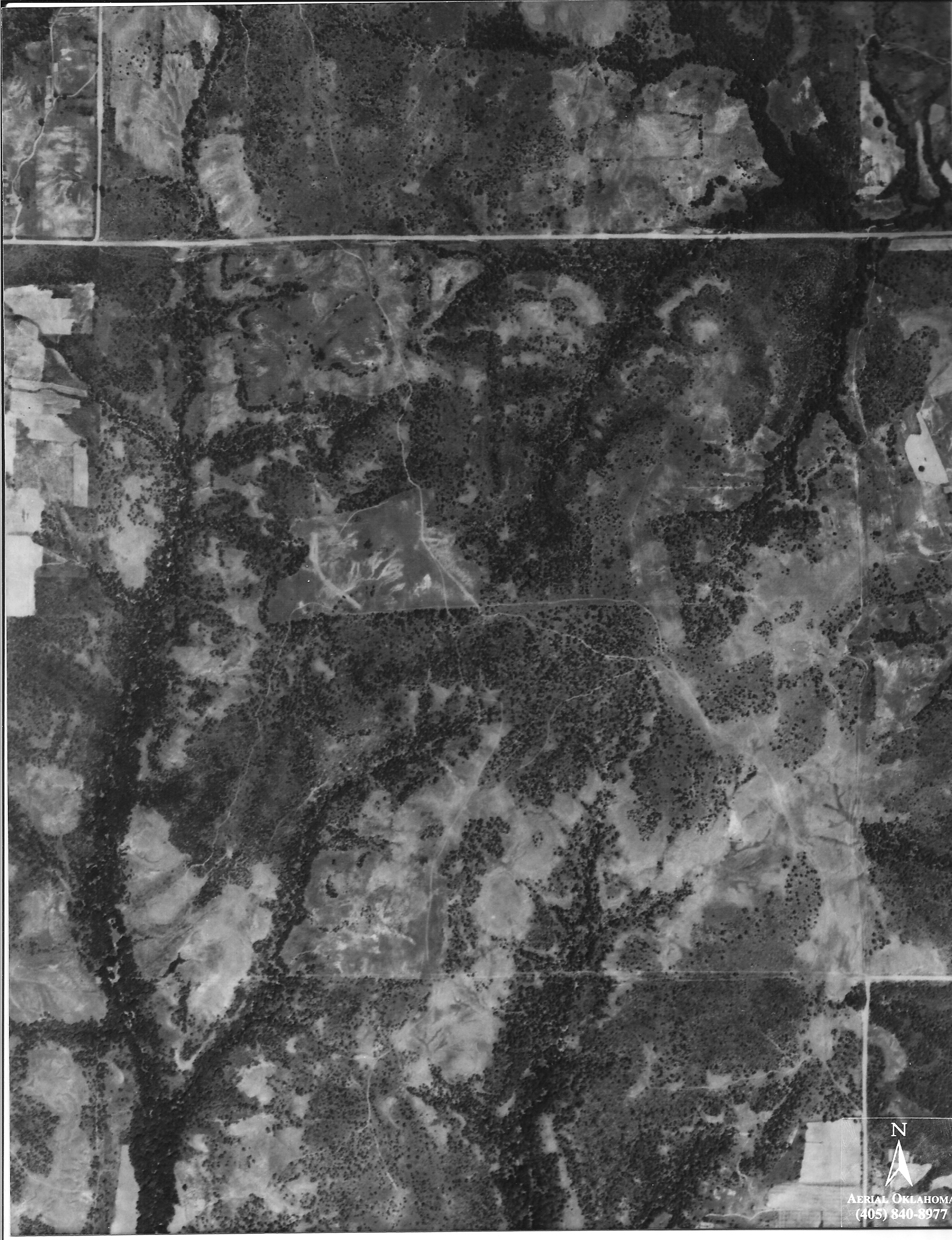 |
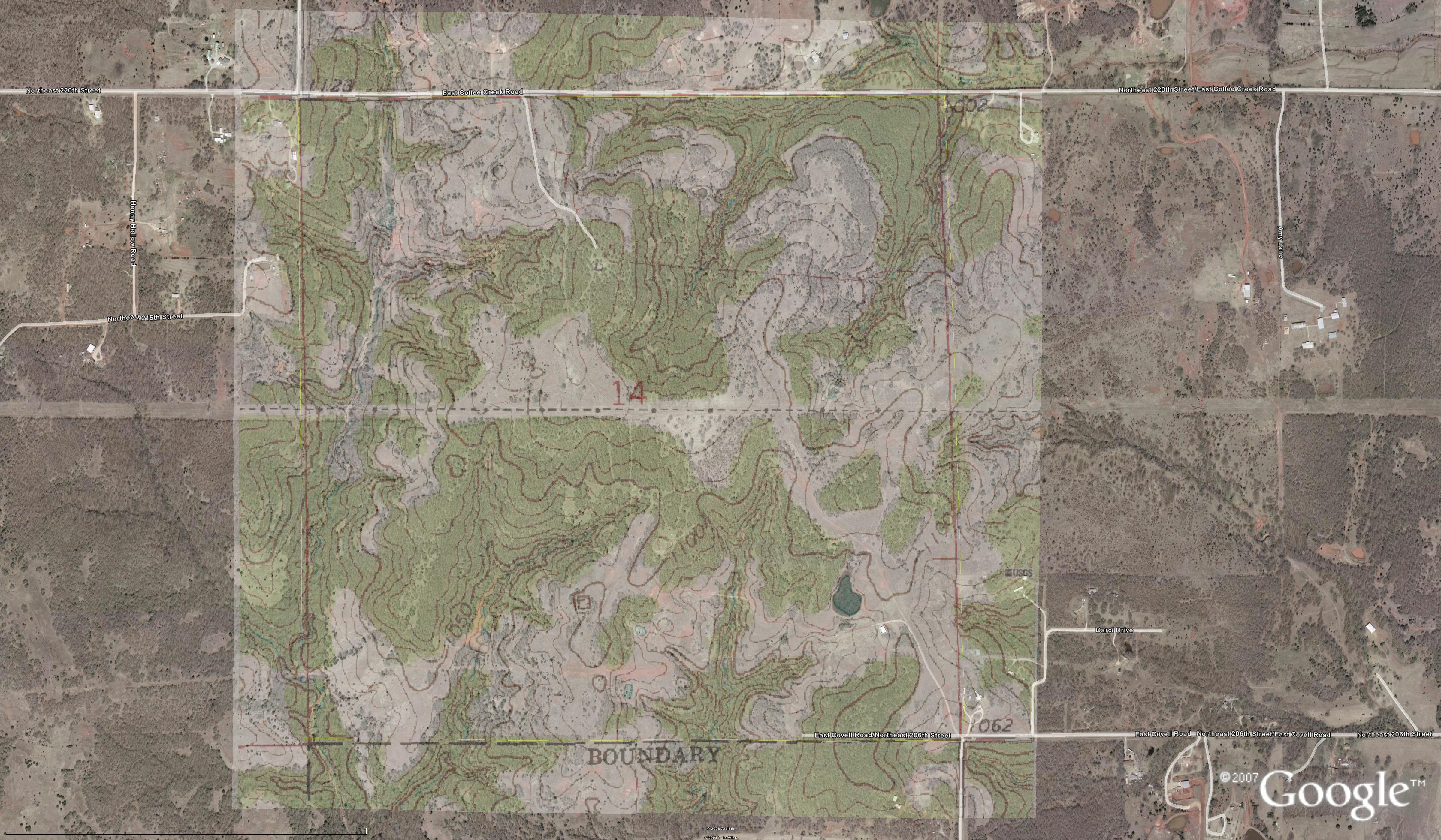 |
|
- Surveyor's Notes (LARGE PDF)
Here are the surveys and title instruments:
Aerial with survey overlaid (HUGE-32MB)
NW 1/4 Survey PDF
NE1/4 Survey PDF
SW1/4 Survey PDF
SE1/4 Survey PDF
Existing Easements
Here is the Finished Survey (this is a DWG file and must be opened with an AUTOCAD type program)
Here is a High Resolution Photo (this must be viewed with a MRSID viewer available HERE)
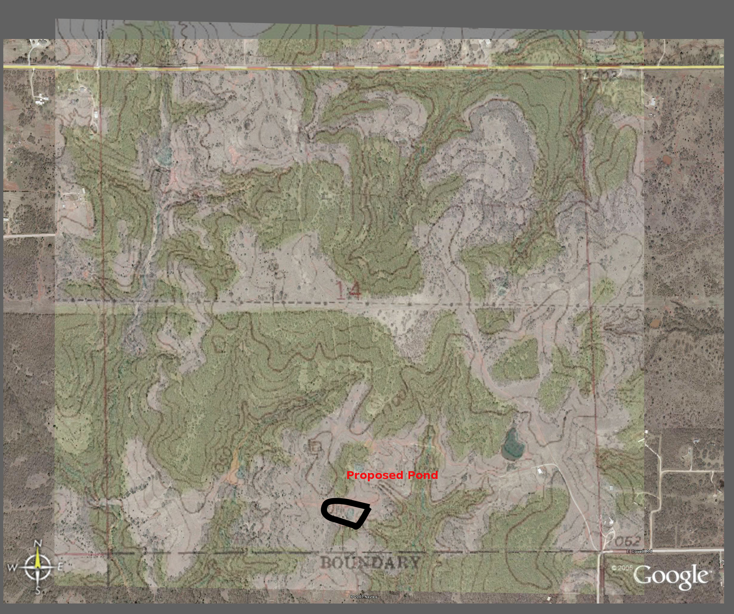
Location of proposed ponds (PDF)
Fire at Farm Sunday, Spetember 5, 2010 PHOTOS
Aerial Photo Showing Approximate Location of Fire
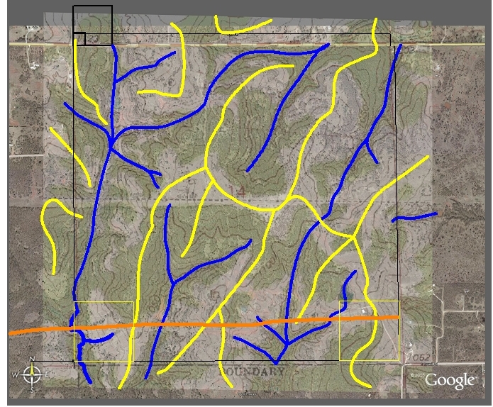 Highs for roads (yellow) and Lows for drainage and required water crossings (blue) for development plans